Read this story as it originally appeared on SCMP.com.
The map showed an idyllic patch of water hemmed in by parkland islands. I could see small coves and passages, the perfect place to explore in a kayak. Its name, Double Haven, completed the tranquil image.
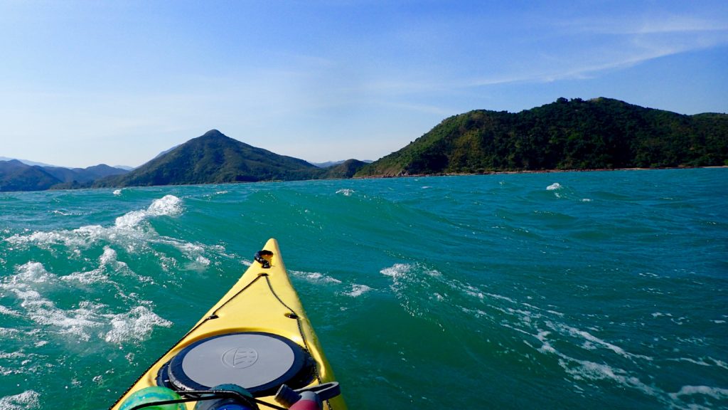
But we weren’t there yet. First we had to cross the lumpy, grey seas of Tolo Channel, our kayaks bobbing in the waves as we waited for a ship to pass. Then we rounded Wong Chuk Kok Tsui, where hikers scrambling along the rocky shore to get to the Devil’s Fist shouted and waved at us as we paddled by.
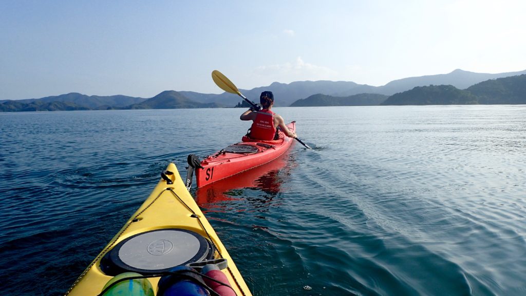
We landed on Tung Wan for lunch, where my paddling partner, on her first big kayaking trip, slumped down onto a rock, exhausted.
“Is the whole trip going to be like this? With wind and waves? This cold?”
I made reassuring sounds and promised better conditions ahead, but I wasn’t sure myself what to expect. After an hour of shivering on the beach and gulping hot tea from a thermos I cajoled her back into her kayak. We pointed the boats through the narrow gap between Crescent and Double Islands and entered a whole different world.
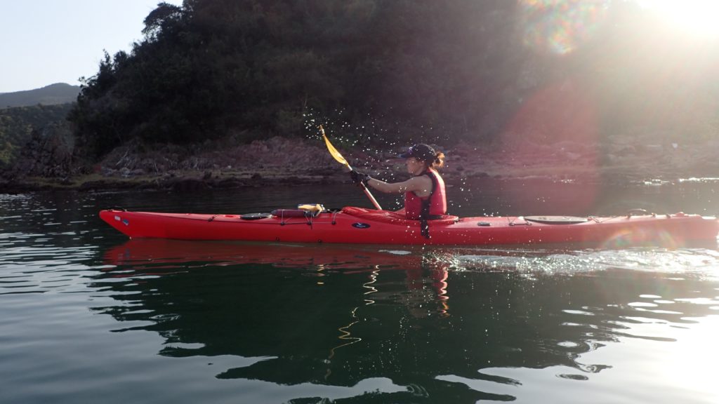
Double Haven lay spread out before us, unfurled like an old Chinese scroll painting, complete with overlapping hills that disappeared into the blue haze. The water was calm, like an inland lake. The sun came out, turning greys into greens and blues, the light catching the silver flash of a jumping fish.
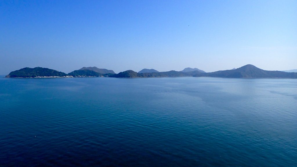
Double Haven, named Yan Chau Tong in Chinese, is on the northeastern shores of Plover Cove Country Park. Eroded volcanic rock, which is sharp and brittle and often blood red with iron oxide, shelters Double Haven at all points of the compass, saving it from the storms that batter other parts of Hong Kong. At its north end Double Haven becomes Crooked Harbour, but the two protected bodies of water can be explored as one.
Very few Hong Kongers even know of Double Haven, much less visited it. There no roads into the area and ferry connections are infrequent and inconvenient, so most visitors hike in. The area is perhaps best known for Lai Chi Wo, the 300-year old walled Hakka village that is being revitalised and sits inside the Yan Chau Tong Marine Park that was created in 1996.
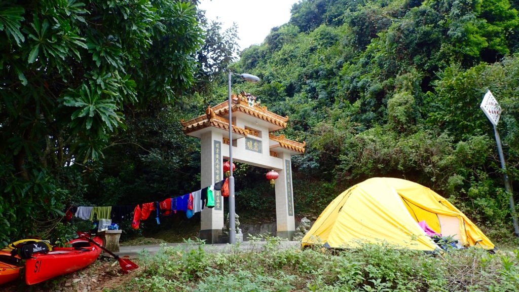
The historic village was our destination for the day, and it was late afternoon by the time our kayaks bumped ashore next to its pier. There was no space for a tent on the beach, and the village square was covered in concrete, so we settled on a tiny patch of grass next to the village gate. We pulled our kayaks up above the high-tide line, hung our dripping clothes from a line and pitched the tent. It was dark by the time we had our cook stove hissing. Soon a villager arrived on his bicycle and we braced ourselves, expecting him to chase us away.
“I’m just checking my nets,” the man said. “It’s okay, you can camp here.”
He waded out into the receding tide, and moments later reappeared with a small fish he had pulled from his net.
“It’s not much, but I’m just fishing to feed myself, so it’s enough,” he said.
Before leaving he warned us to secure our food bags against wild pigs. Sure enough, we saw one trotting along the darkened shore and were jolted awake during the night when a squealing pig ran by our tent, chased by baying village dogs.
The next morning we paddled north to the island of Ap Chau. In the 1960s this island became home to the Taiwan-based True Jesus Church and its followers. Today, the church remains in use but there are only a handful of the island’s 1,000 Tanka residents left.
It was on the peak of Ap Chau where the preciousness of Double Haven’s seclusion hit home. Just two kilometres to the north was Yantian, which in the past two decades has evolved from a small fishing village into one of the world’s busiest container terminals. The roar of engines and clang of metal floated across the water, the acrid smell of diesel exhaust hung in the air. To the northwest was a wall of office and residential towers, where Sha Tau Kok blends seamlessly into the far reaches of the Shenzhen metropolis. To the east, beyond the hills of Crooked Island, was the open waters of Mirs Bay, dotted with cargo ships from around the world. But to south lay a scene largely unchanged for thousands of years; the intricate maze of isolated islands and quiet bays that we’d just paddled through. A tiny refuge in a sea of people and progress.
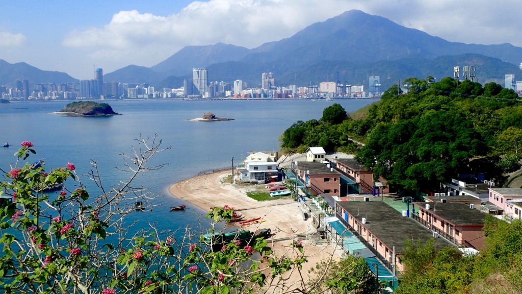
We paddled two kilometres east to the village of Kat O on Crooked Island, one of the only villages in the area with a permanent population and signs of activity. The village itself is well maintained and interesting to explore, but its main beach, where we landed, faces the industrial eyesore of Yantien, so we ate a quick lunch and continued on our way.
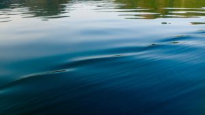
We pointed our kayaks south, back into the protection and quiet of Double Haven. It was hot and still for a winter day, and we took breaks from paddling to trail our hands in the cool water. The marine park teems with life, and the jumping fish were the only thing breaking the smooth surface of the sea. Our course took us along the southern shores of Double Haven and through the narrow Hung Shek Mun gap between Double Island and the mainland. We were on our way home, but it was still a long way to go.
Because Double Haven has so few waves the vegetation grows right down to the high tide line and there are few beaches, resulting in a dearth of camping spots. The weather forecast called for a drastic change of weather, so we needed protection. I scanned the shores, looking for a flat, dry spot to pitch our tent.
As we rounded the southern tip of Double Island and exited Double Haven I spotted the Outward Bound base in Wong Wan. The camp was empty except for a grizzled caretaker, who welcomed us to pitch our tent on the lawn. By the time all our gear was hung to dry, the tent was pitched and our dinner was on the stove the wind had begun to pick up. It was hard to tell at first, as we were still in a protected cove, but across the water we could see white-caps and spumes of spray where the waves were crashing into the shore.
“There’s going to be a storm,” the caretaker warned. “Tomorrow will be worse.”
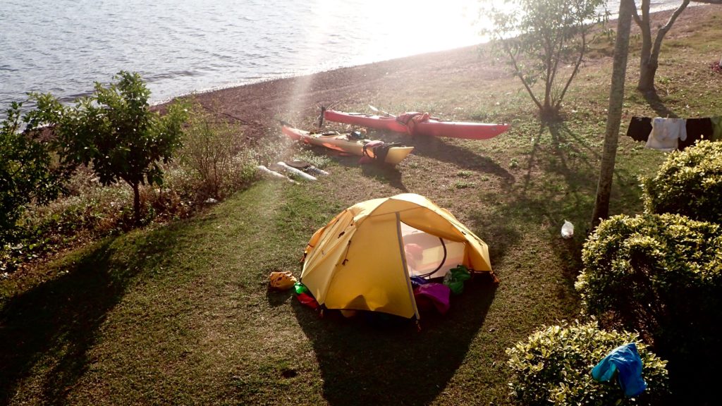
He was right. We fell asleep to the sound of our tent fly flapping in the wind, and awoke to a full gale that brought with it a 10-degree drop in temperatures. The final 10 kilometres of our 45 kilometre trip would take us through exposed, open seas, so we waited, hoping the wind would ease. In the afternoon we went as far as to load the kayaks and paddle out to sea, but we were quickly turned back by steep, breaking waves. The camp caretaker gave us a “I told you so” look as we returned to his base and set up our tent for another night.
By the next morning the wind had subsided, but the cold remained. We hurried through breakfast iin case the wind would return and then pushed off from the shore, headed for home. The waves were smaller than they’d been the day before, but they still broke over the decks of our kayaks, reminding us of the haven we’d left behind.

 Follow