Double Haven

Read this story as it originally appeared on SCMP.com.
The map showed an idyllic patch of water hemmed in by parkland islands. I could see small coves and passages, the perfect place to explore in a kayak. Its name, Double Haven, completed the tranquil image.

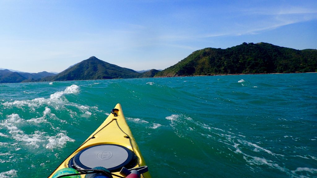
But we weren’t there yet. First we had to cross the lumpy, grey seas of Tolo Channel, our kayaks bobbing in the waves as we waited for a ship to pass. Then we rounded Wong Chuk Kok Tsui, where hikers scrambling along the rocky shore to get to the Devil’s Fist shouted and waved at us as we paddled by.
We landed on Tung Wan for lunch, where my paddling partner, on her first big kayaking trip, slumped down onto a rock, exhausted.

“Is the whole trip going to be like this? With wind and waves? This cold?”

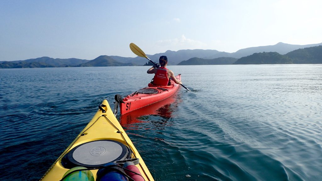
I made reassuring sounds and promised better conditions ahead, but I wasn’t sure myself what to expect. After an hour of shivering on the beach and gulping hot tea from a thermos I cajoled her back into her kayak. We pointed the boats through the narrow gap between Crescent and Double Islands and entered a whole different world.

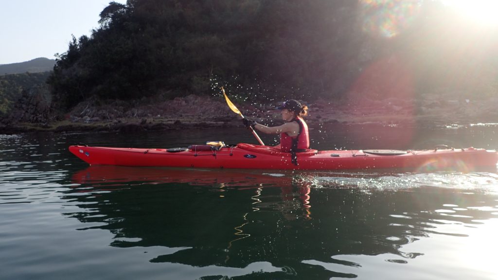
Double Haven lay spread out before us, unfurled like an old Chinese scroll painting, complete with overlapping hills that disappeared into the blue haze. The water was calm, like an inland lake. The sun came out, turning greys into greens and blues, the light catching the silver flash of a jumping fish.
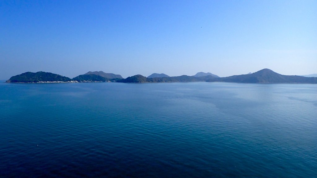
Double Haven, named Yan Chau Tong in Chinese, is on the northeastern shores of Plover Cove Country Park. Eroded volcanic rock, which is sharp and brittle and often blood red with iron oxide, shelters Double Haven at all points of the compass, saving it from the storms that batter other parts of Hong Kong. At its north end Double Haven becomes Crooked Harbour, but the two protected bodies of water can be explored as one.

Very few Hong Kongers even know of Double Haven, much less visited it. There no roads into the area and ferry connections are infrequent and inconvenient, so most visitors hike in. The area is perhaps best known for Lai Chi Wo, the 300-year old walled Hakka village that is being revitalised and sits inside the Yan Chau Tong Marine Park that was created in 1996.
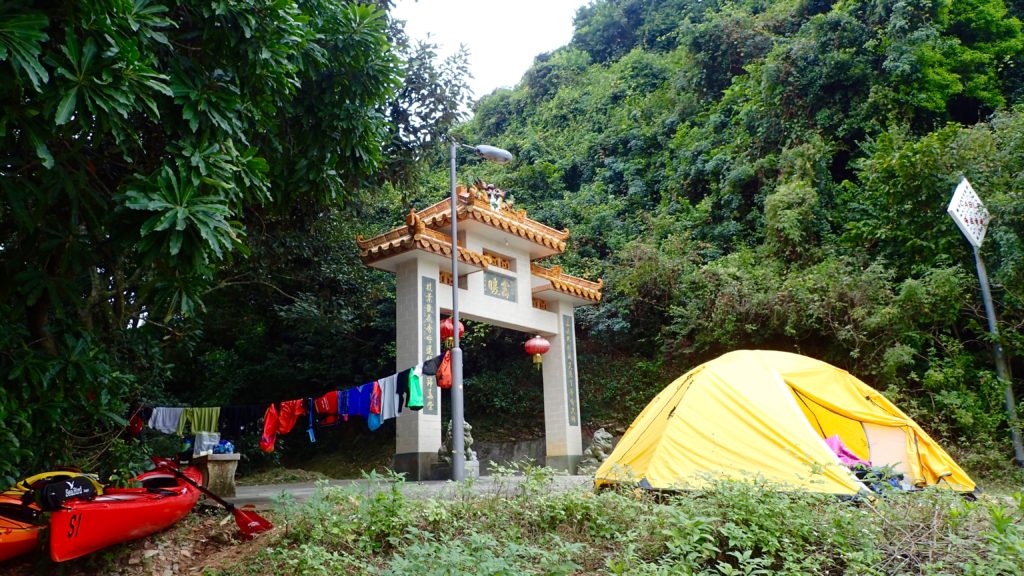
The historic village was our destination for the day, and it was late afternoon by the time our kayaks bumped ashore next to its pier. There was no space for a tent on the beach, and the village square was covered in concrete, so we settled on a tiny patch of grass next to the village gate. We pulled our kayaks up above the high-tide line, hung our dripping clothes from a line and pitched the tent. It was dark by the time we had our cook stove hissing. Soon a villager arrived on his bicycle and we braced ourselves, expecting him to chase us away.

“I’m just checking my nets,” the man said. “It’s okay, you can camp here.”

He waded out into the receding tide, and moments later reappeared with a small fish he had pulled from his net.

“It’s not much, but I’m just fishing to feed myself, so it’s enough,” he said.

Before leaving he warned us to secure our food bags against wild pigs. Sure enough, we saw one trotting along the darkened shore and were jolted awake during the night when a squealing pig ran by our tent, chased by baying village dogs.
The next morning we paddled north to the island of Ap Chau. In the 1960s this island became home to the Taiwan-based True Jesus Church and its followers. Today, the church remains in use but there are only a handful of the island’s 1,000 Tanka residents left.

It was on the peak of Ap Chau where the preciousness of Double Haven’s seclusion hit home. Just two kilometres to the north was Yantian, which in the past two decades has evolved from a small fishing village into one of the world’s busiest container terminals. The roar of engines and clang of metal floated across the water, the acrid smell of diesel exhaust hung in the air. To the northwest was a wall of office and residential towers, where Sha Tau Kok blends seamlessly into the far reaches of the Shenzhen metropolis. To the east, beyond the hills of Crooked Island, was the open waters of Mirs Bay, dotted with cargo ships from around the world. But to south lay a scene largely unchanged for thousands of years; the intricate maze of isolated islands and quiet bays that we’d just paddled through. A tiny refuge in a sea of people and progress.
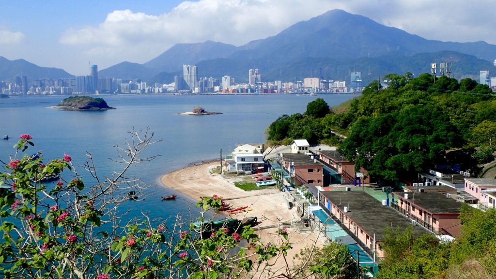
We paddled two kilometres east to the village of Kat O on Crooked Island, one of the only villages in the area with a permanent population and signs of activity. The village itself is well maintained and interesting to explore, but its main beach, where we landed, faces the industrial eyesore of Yantien, so we ate a quick lunch and continued on our way.

We pointed our kayaks south, back into the protection and quiet of Double Haven. It was hot and still for a winter day, and we took breaks from paddling to trail our hands in the cool water. The marine park teems with life, and the jumping fish were the only thing breaking the smooth surface of the sea. Our course took us along the southern shores of Double Haven and through the narrow Hung Shek Mun gap between Double Island and the mainland. We were on our way home, but it was still a long way to go.

Because Double Haven has so few waves the vegetation grows right down to the high tide line and there are few beaches, resulting in a dearth of camping spots. The weather forecast called for a drastic change of weather, so we needed protection. I scanned the shores, looking for a flat, dry spot to pitch our tent.

As we rounded the southern tip of Double Island and exited Double Haven I spotted the Outward Bound base in Wong Wan. The camp was empty except for a grizzled caretaker, who welcomed us to pitch our tent on the lawn. By the time all our gear was hung to dry, the tent was pitched and our dinner was on the stove the wind had begun to pick up. It was hard to tell at first, as we were still in a protected cove, but across the water we could see white-caps and spumes of spray where the waves were crashing into the shore.

“There’s going to be a storm,” the caretaker warned. “Tomorrow will be worse.”
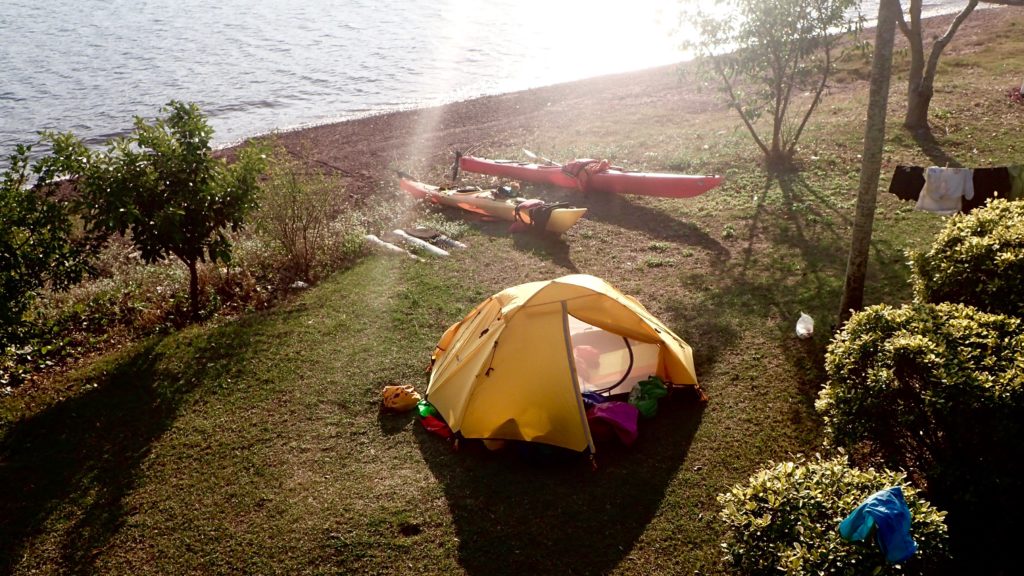
He was right. We fell asleep to the sound of our tent fly flapping in the wind, and awoke to a full gale that brought with it a 10-degree drop in temperatures. The final 10 kilometres of our 45 kilometre trip would take us through exposed, open seas, so we waited, hoping the wind would ease. In the afternoon we went as far as to load the kayaks and paddle out to sea, but we were quickly turned back by steep, breaking waves. The camp caretaker gave us a “I told you so” look as we returned to his base and set up our tent for another night.

By the next morning the wind had subsided, but the cold remained. We hurried through breakfast iin case the wind would return and then pushed off from the shore, headed for home. The waves were smaller than they’d been the day before, but they still broke over the decks of our kayaks, reminding us of the haven we’d left behind.
Raja Ampat

Earlier this year I went on a kayak and dive adventure in Raja Ampat, Indonesia. Here is the story that ran in the SCMP, and a photo essay on the Canoe & Kayak website.

CD-RajaAmpat-IMG_0753

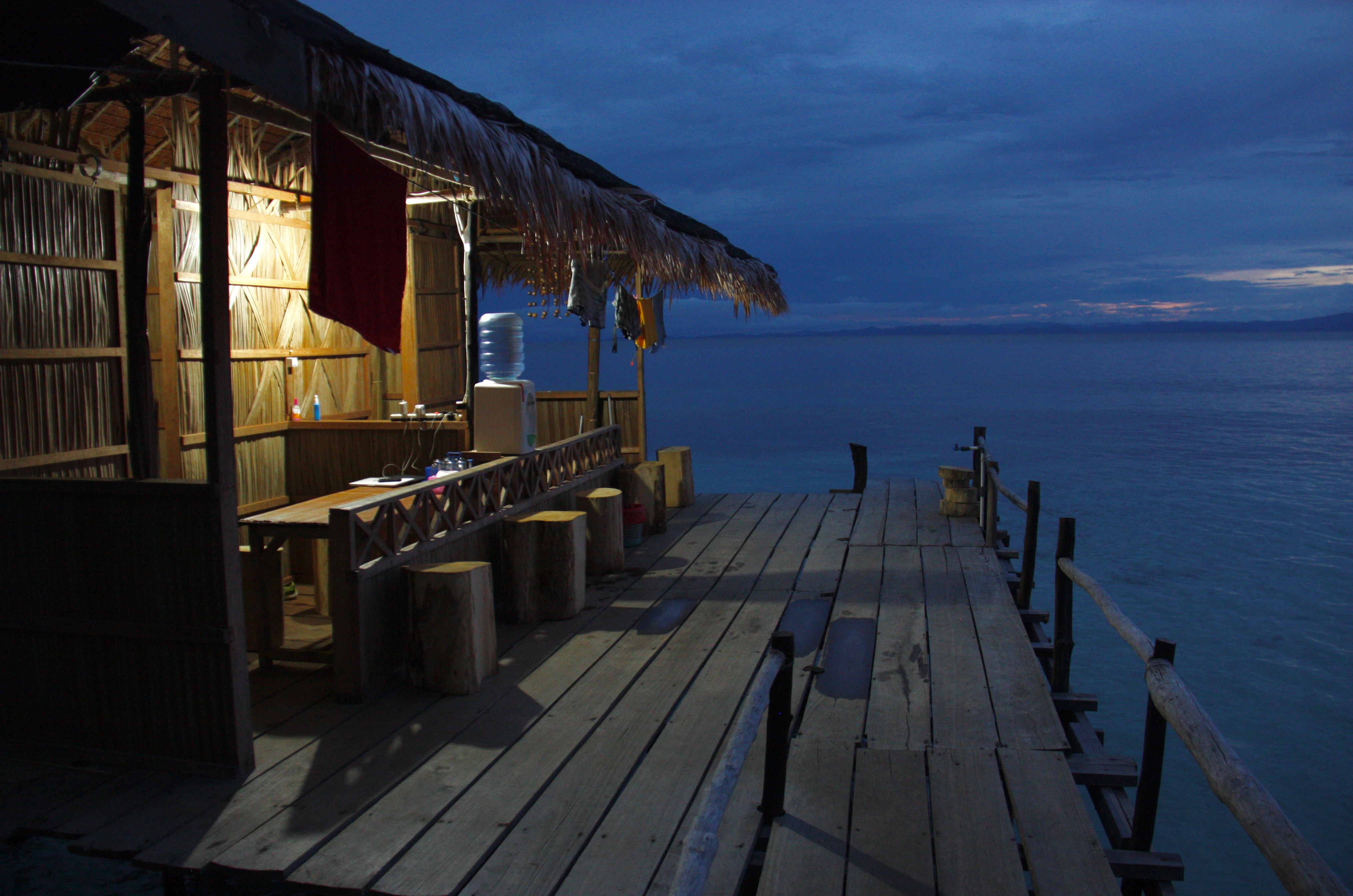
There’s the muffled rattle of floorboards as someone walks across the platform you’re living on. Parrots, hornbills and a score of other exotic birds chirp and trill overhead. There’s the hiss of waves hitting the shore and maybe the splash of fish. But other than that … silence.

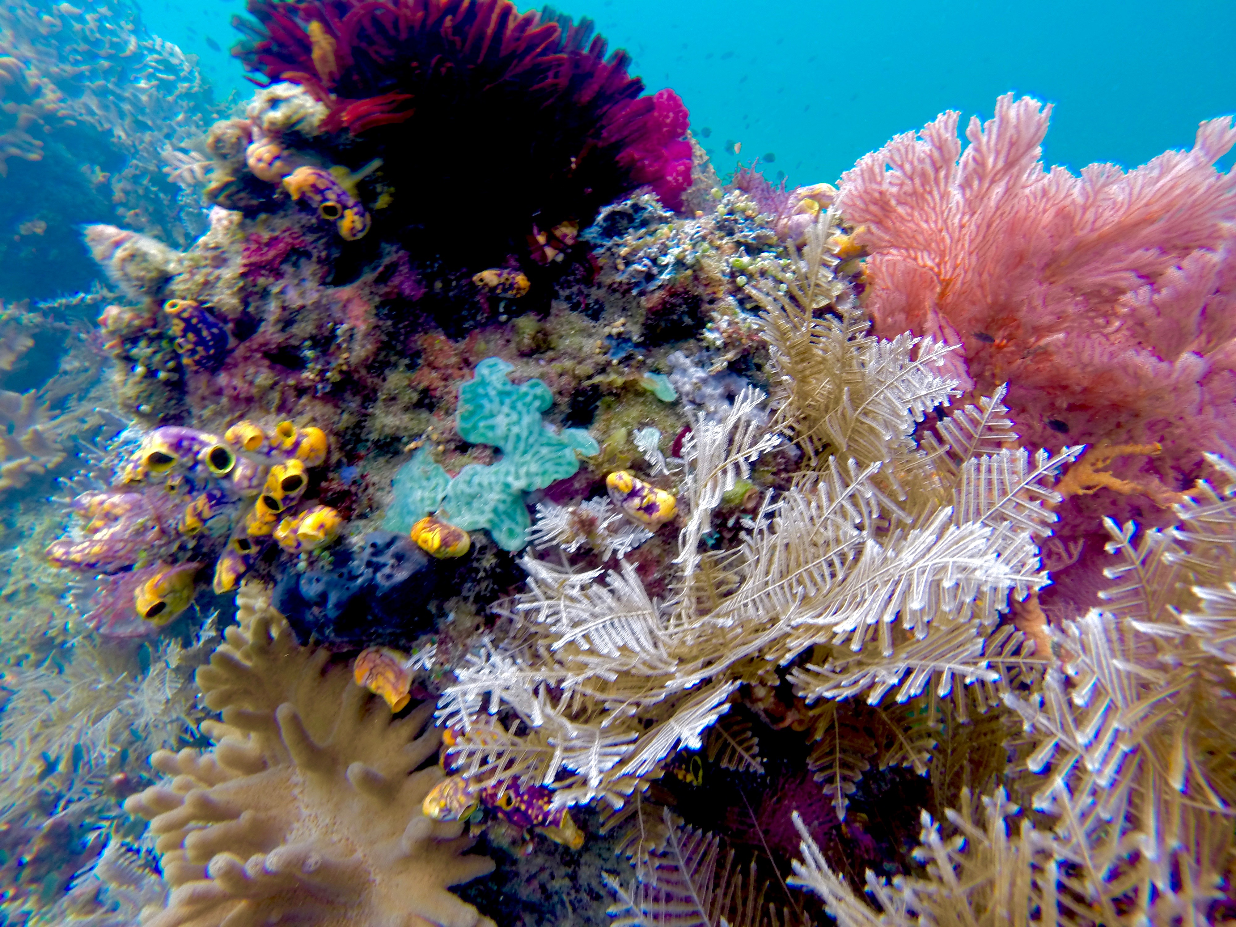
Raja Ampat, an archipelago in the Indonesian state of West Papua, is less densely populated than the Western Sahara, but this undeveloped, remote corner of Asia is home to the greatest diversity of marine life and coral reef ecosystems on Earth.

Scuba divers have been exploring this marine paradise for a few years and live-aboard dive boats are a common sight, but for land-based tourists, the region’s back-to-basics homestays are the best way to immerse oneself in Papuan life.

DCIM106GOPRO

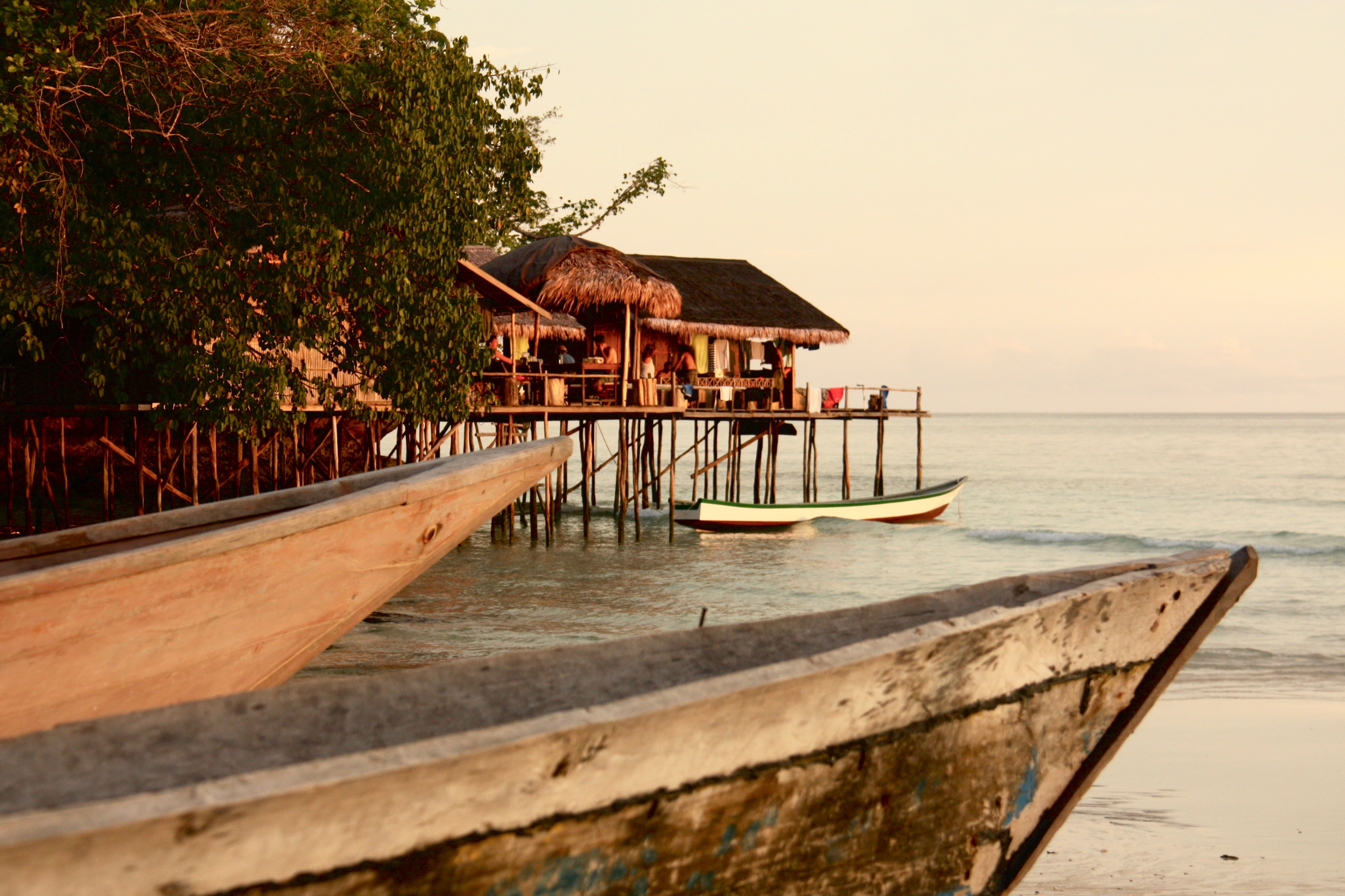
A 35-hour string of flights, ferry rides and car journeys from Hong Kong deposits us at Mando’s, a homestay built typically of bamboo and palm fronds on stilts over the sea. Home life in Papua takes place on wooden platforms, each having several rooms or huts on it, for cooking, eating and sleeping. As at most homestays, meals at Mando’s are served family style.

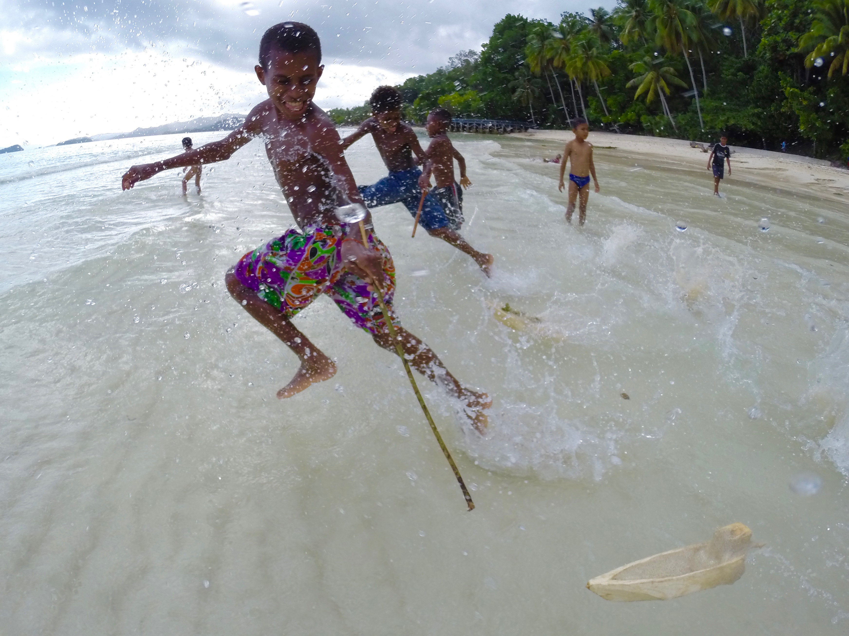
The dive industry here is largely operated by Indonesians from other parts of the country, but homestays are owned and operated by Papuan families. They form a bridge between the life on the sea that is so central to Papuan culture and the wild, forested islands that provide wood, food and fresh water.

Mando’s is on the main island of Waigeo and within driving distance of Waisai, the grimy little capital of Raja Ampat and the only place on the island where you can buy supplies. The views from the dining room – a table under a grass roof – make for disjointed conversations.

“So after that we caught a flight to … Oh look!” a traveller exclaims. Everyone around the table cranes their neck. “A school of dolphins.”

Or a jumping manta ray, a fish leaping from the water, a surfacing turtle, an exotic bird soaring across the sky. After a few days, dolphins are no longer newsworthy, and the challenge becomes catching sight of a leaping manta ray. All I ever see is the splash.

DCIM106GOPRO

Waigeo is home to the rare Wilson’s bird-of-paradise, a red and blue beauty that can be spotted on a morning hike in the jungle. At night, glow worms ( Odontosyllis enopla) flicker bright green in the sea as they pump out bioluminescence to attract a mate.

Many homestays are in remote locations and neighbours may be 20km down the coastline or across the open sea. Island hopping takes planning, patience and time. There is practically no scheduled inter-island transport and few of the islands have roads, making privately hired longboats the most convenient mode of travel.

Longboats also allow you to see the karst topography, and explore small islets so undercut by waves they look like mushrooms. We weave through the islands, staring down into the crystal-clear water at endless coral reefs, schools of colourful fish and small sharks.

DCIM106GOPRO

Raja Ampat’s coral reefs have shown greater resilience to the bleaching caused by rising sea temperatures than others around the world, and conservation efforts have greatly increased fish populations in the protected areas, but the flourishing marine life attracts poachers.

The Indonesian government has taken a strong stand against commercial fishing and created large protected areas, but this region is also rich in other natural resources. The largest gold mine and the third-largest copper mine in the world are nearby, and the Papua region is Indonesia’s largest source of tax revenue. That has attracted a large military presence, and many activists have disappeared, been killed or been jailed.

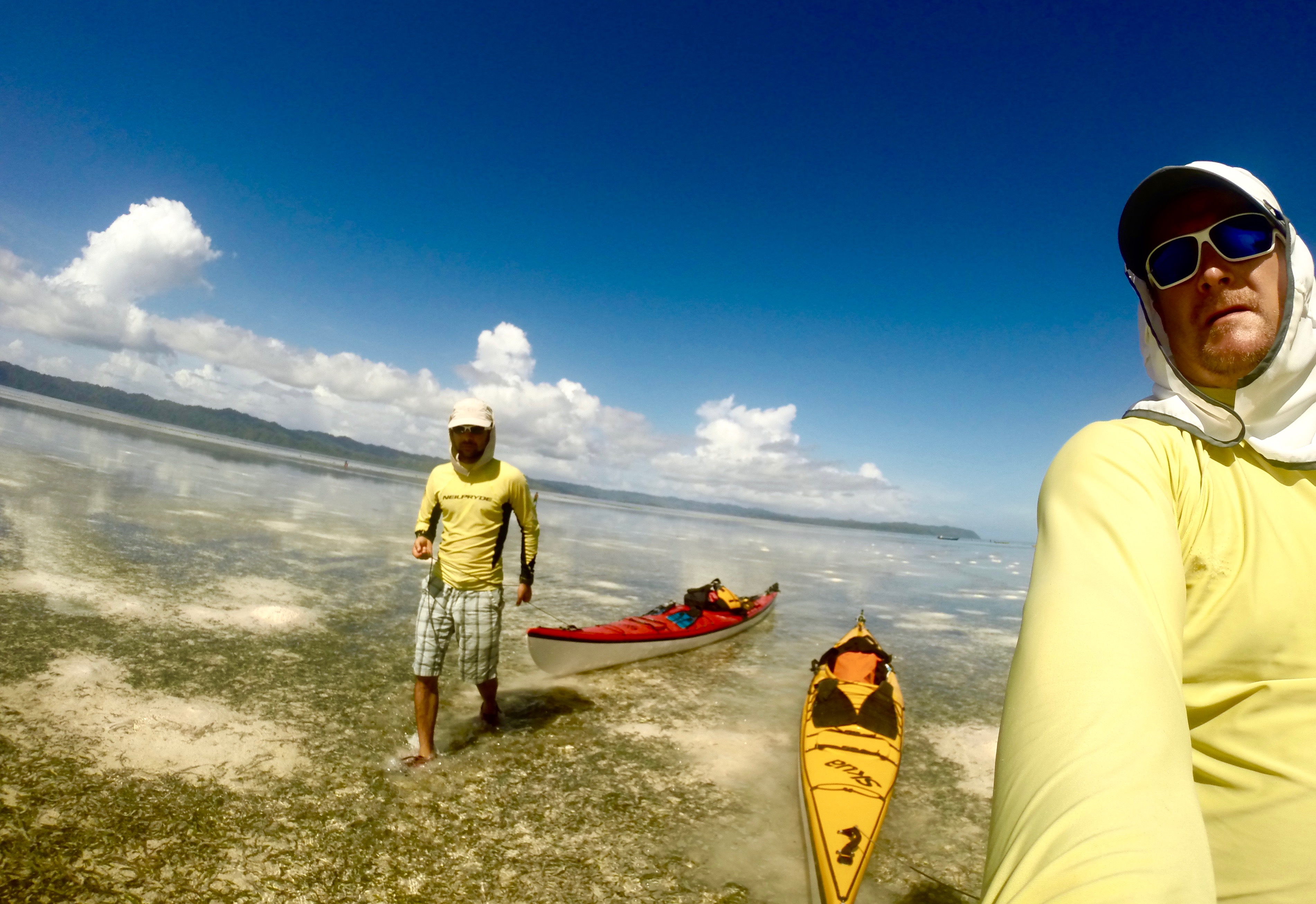
The Raja Ampat Research and Conservation Centre is one of the best established community development groups in the archipelago, and a key local partner of many international conservation organisations. The centre trains Papuans to build boats and then guide tourists on kayaking tours in those boats – the same development plan used for the homestays – provides research facilities and operates educational programmes.

“Our goal is to support those living in this beautiful and fragile ecosystem to have better, healthier lives and make them stewards in protecting this natural environment,” says Tertius Kammeyer, who heads the centre’s kayaking operations.

CD-RajaAmpat-IMG_1733

Tourism is growing rapidly and new homestays are popping up on every island, but outside of peak seasons, when domestic travellers come to Raja Ampat, there’s a good chance you’ll have one to yourself.

Time loses its meaning when you’re living in a grass hut. There are no clocks or timetables; meals are served when they are ready.

Circumnavigating the island of Gam makes for a pleasant three- or four-day trip by motorboat from Waisai. It is not one of the “regal” islands – Raja Ampat means “four kings” – but Gam is near the centre of the archipelago, and has plenty of small bays along its coast. On a clockwise trip around the island, a first night might be spent in Arborek Village, on a sandy spit of an island just off Gam.

CD-RajaAmpat-IMG_1557

In Arborek, there is a daily reminder of passing time; the village bell – an empty fuel canister – is rung at dawn, gently awakening the village from its slumber. After breakfast on the beach, we paddle to nearby Manta Sandy, a sandbar where mantas come to feed on plankton and allow fish to clean them of parasites. We slip on snorkel gear and drop into the water, and within moments mantas with wing spans of several metres appear out of the blue. Watching them glide effortlessly through the water makes our boat travel seem a lot less elegant.

Yet there is no other way to get to Warikef, an isolated homestay in a quiet bay near the Kaboei Passage, a narrow, winding stretch of water that separates Gam from Waigeo. Strong tidal currents in the passage offer divers and snorkellers an exhilarating underwater ride among the fish and coral fans.

CD-RajaAmpat-IMG_1323

Warikef backs onto a steep, forested cliff, just below a cave that supplies a steady stream of fresh water. The sea beneath the platform teems with life, and just because we’re not in the water, doesn’t mean we’re not considered part of a food chain. I feel a splash of water on my foot as an archerfish mistakes me for an insect and shoots a carefully aimed stream of water between the planks. A book left on the floor gets soaked as the fish make repeated attempts to capture it for lunch.

As the sun sets, the jungle surrounding Warikef falls silent and the glassy sea reflects the last light of the day. I can hear the muted voices of the host family chatting as they cook our dinner. There is the hiss of a gas stove and rattle of pots, the entire platform swaying gently as they move about.

The generator is broken, and the only light comes from a flickering oil lamp. I lay on the decking and watch the stars come out, forgetting for a moment that a less-tranquil world exists.

CD-RajaAmpat-IMG_0766

Palawan Kayak

This story originally appeared in the SCMP’s Post Magazine on May 10 as “Blazing Paddles”.

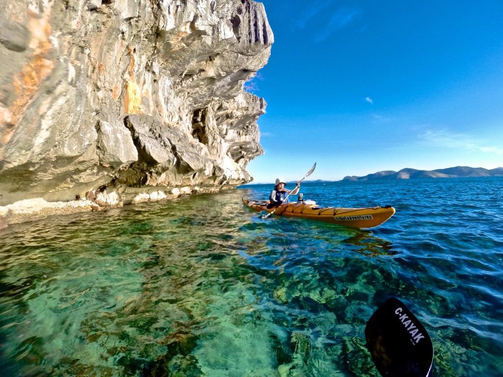
A wave of vertigo washes over me as I look down. It’s not far to the bottom – a few metres at most – but I feel as though I am floating in the air. The water is so clear, it is invisible, the sunlight brightening the colours of the starfish and coral on the sea bed.

Palawan is one of the most pristine and remote corners of the Philippines, and the country’s largest province by territory. Three of us are on a week-long kayaking tour, slowly winding our way through the karst islets and immaculate beaches surrounding Busuanga Island, in the northernmost part of the province.

Every paddle stroke brings into view another coral reef and another school of colourful fish flashing through the water beneath our hulls. The sky stretches achingly clear and blue overhead.

DCIM105GOPRO

From the cockpit of a kayak, Palawan is all rocky coves, distant rounded mountains and jagged cliffs with sugary beaches at their base.

It’s the end of the dry season, when the seas are relatively calm and the islands look parched. Other than a few fishing bankas – canoes with outriggers that come in a wide range of sizes – the only signs of human life are the occasional village and a few exclusive resorts huddled underneath palm trees on distant islands.

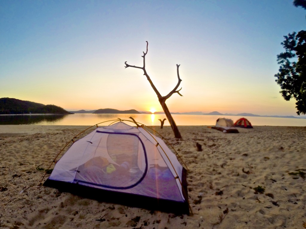
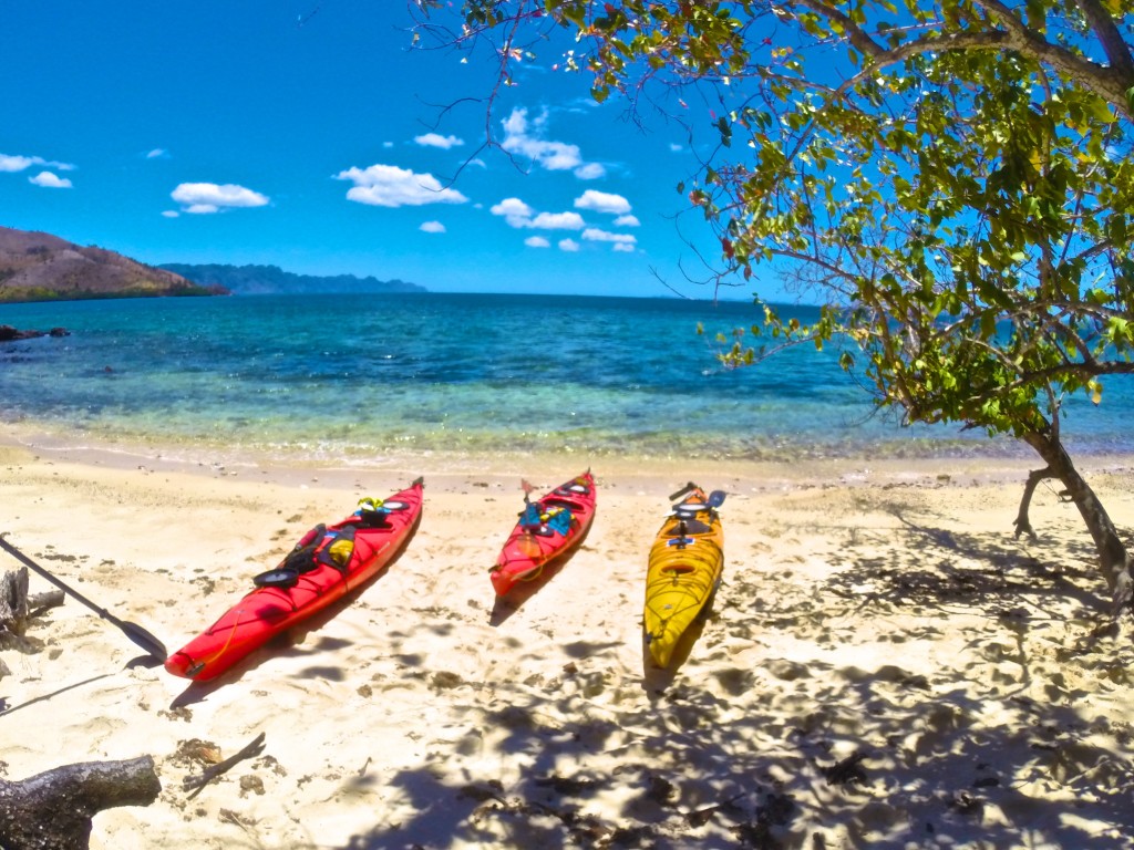
The sun has set by the time we arrive at our first campsite. We coast onto the beach, hulls scraping noisily against the sand, disrupting the evening silence. A nearly full moon casts the beach in a white glow, the curving trunks of palm trees standing out in stark relief.

From the kayak hatches come tents, cooking stoves, sleeping mats, bags of food and jugs of water. Many of the islands have no fresh water, so maintaining supplies is a constant concern. Tents are pitched and paddling gear hung up to dry. We cook an easy two-pot meal of pasta and vegetables, the air still so warm that working over the camp stove is uncomfortable. The fire we light on the beach is for cheer, and we sit well back from it in search of a cool breeze.

DCIM106GOPRO

Having awoken with the sun and after a quick breakfast, we’re back on the water, hoping to make the most of the cool morning air. We’re paddling north and, as we pass Lusong Island, one of our number lets out a shout.

“Hey, there’s something down there under the water!”

He is frantically back-paddling his kayak as he peers over the side. This region is littered with the wrecks of Japanese ships from the second world war, and we’ve just stumbled upon one. We tie our kayaks to a float bobbing on the surface, pull on masks and fins – stowed on the decks of our kayaks to explore reefs as we find them – and roll over the sides with a splash.

The wreck is in shallow water and filled with colourful fish that swarm around us, flitting away when we make sudden movements. The ship lies on its side, an entry wound of torn and twisted metal still evident despite heavy coral growth.

DCIM105GOPRO

For lunch, we land on a shady beach on Marily Island. It’s a pattern we’ll repeat in the days to come – an early start, followed by several hours of hiding from the blazing sun before we paddle on into the early evening.

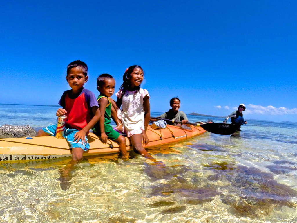
Many of the beaches and islands are inhabited only by caretakers, some with their families, who hold possession of the land for faraway owners. Some of them charge a few hundred pesos for camping privileges; others don’t even bother us to say hello.

“Isn’t it dangerous?” asks the caretaker of Marily Island of our trip, in English. “Where is your guide?”

We’re paddling sea-worthy kayaks, wearing personal floatation vests and special clothes to protect us from the sun. Our boats are filled with emergency satellite beacons, water filters and first-aid kits. We’re navigating by GPS and monitoring the weather on smartphones. The caretaker and his wife sleep in a house made of palm fronds and bamboo, and live a subsistence life. The assessment of risk is very subjective.

I have badgered every passing fisherman to sell me some of their catch, hoping for a beach barbecue, and I tell the caretaker about my fruitless search. He grins, jumps into his banka and paddles 100 metres off the beach. He dives into the water – once, twice – and returns with four fish.

“Here, these are for you. Now you can eat fish.”

I pressure him to take a few pesos and he finally relents, tucking the money into his waistband without looking at it. Then he climbs a tree, drops us three fresh, young coconuts filled with sweet, cool water, and goes off to fetch a bottle of wild honey that he has harvested in the hills behind his home. We offer him a bar of chocolate in exchange, thanking him for the food as well as the lesson in generosity.

DCIM106GOPRO

Several days into the journey the clear blue sky begins to show puffy white clouds and an ominous darkening far in the north. Super Typhoon Maysak has been slowly spinning its way towards the Philippines. We paddle to one of the larger villages, which has a mobile signal, to call our outfitter, Tribal Adventures. We are assured the typhoon has ebbed to a tropical storm and that it’s safe to continue our voyage.

I have become used to the fine layer of sea salt that covers my body and the reek of sweat, pungent in a sweltering kayak. Sand and salt have turned my hair into a wild forest, and my stubbled chin holds globs of day-old sunscreen.

DCIM105GOPRO

Each night we bathe in the sea, lolling in the warm water, bright moonlight making modesty impossible. Voices, singing indistinguishable songs, float across the water from villages that turn dark soon after sunset.

The inhabitants have no electricity; a few fires and torches shine and then wink out one by one while we still sit on the sand, eating our dinner.

Roosters announce the return of the villages each morning, as the sun slowly creeps above the edge of the sea, rousing us from our tents to pack up and resume our journey through this remote natural wonderland.

DCIM106GOPRO

Calauit Island

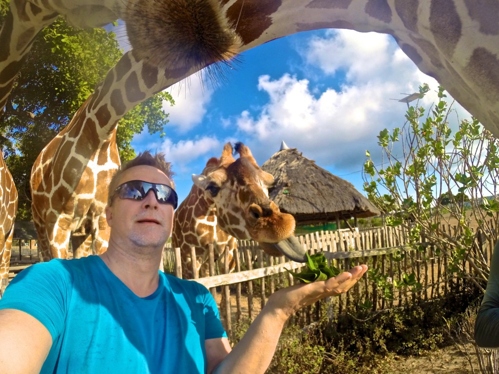
Calauit Island Game Preserve and Wildlife Sanctuary (calauitisland.com) is a surreal but delightful experience in one of the most remote corners of the Philippines. Giraffes and zebras that are thousands of miles from their natural home are free to roam the island, yet tame enough to pet and feed by hand.

The 3,700-hectare reserve, off the far northwestern coast of Busuanga Island, was created in 1976 by then Philippine president Ferdinand Marcos as a private playground. Closed to everyone but the Marcos family and visiting dignitaries until the 1980s, the park is now badly in need of funding and professional zoological staff. There is no veterinarian on staff to look after the animals and birds while the cages of some of the more dangerous creatures, such as crocodiles and snakes, are rusting. Many of the park’s outbuildings remain in ruins following Super Typhoon Haiyan, in 2013.

Still, that doesn’t take away from the magic of having a giraffe bend its elegant neck and reach out with its long tongue to pull leaves out of your hand, or waking up in the park campsite to see zebras grazing metres from where you lay.

Give your head a shake, you’re still in the Philippines.

DCIM106GOPRO