Canadian Shield

Read this story online as it was published in the South China Morning Post.
camerondueckrriverimg_3582

“This sure doesn’t feel like October,” my brother says, standing knee deep in lake water, squinting up at the warm afternoon sun.

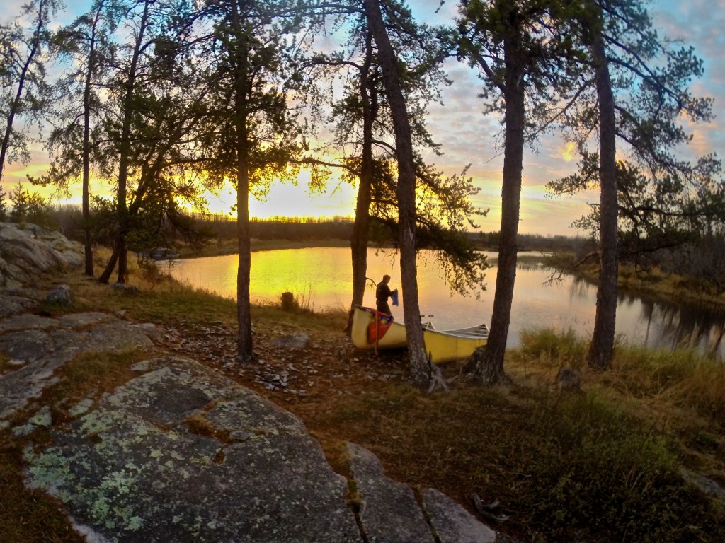
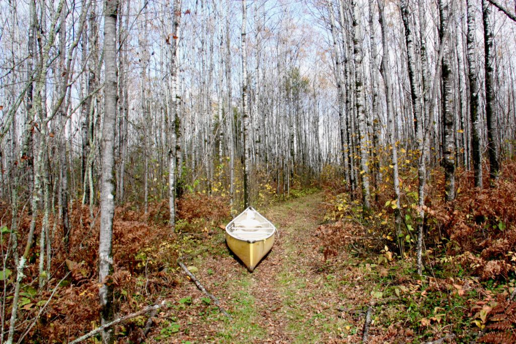
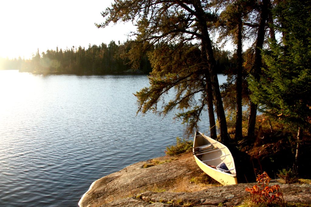
Our yellow canoe is pulled up on a narrow beach, perpendicular to the deep hoof prints left by a passing moose. The birch and spruce forest leans over the beach, as if reaching for the sunlight that glitters off the water. Most of the leaves have already fallen and the trees are naked and white.

“The water’s a bit chilly, but the sun makes up for it,” I say as I wade ashore after a quick plunge in Lake Kilvert, in Ontario’s Eagle-Dogtooth Provincial Park.
camerondueckrriverimg_3500

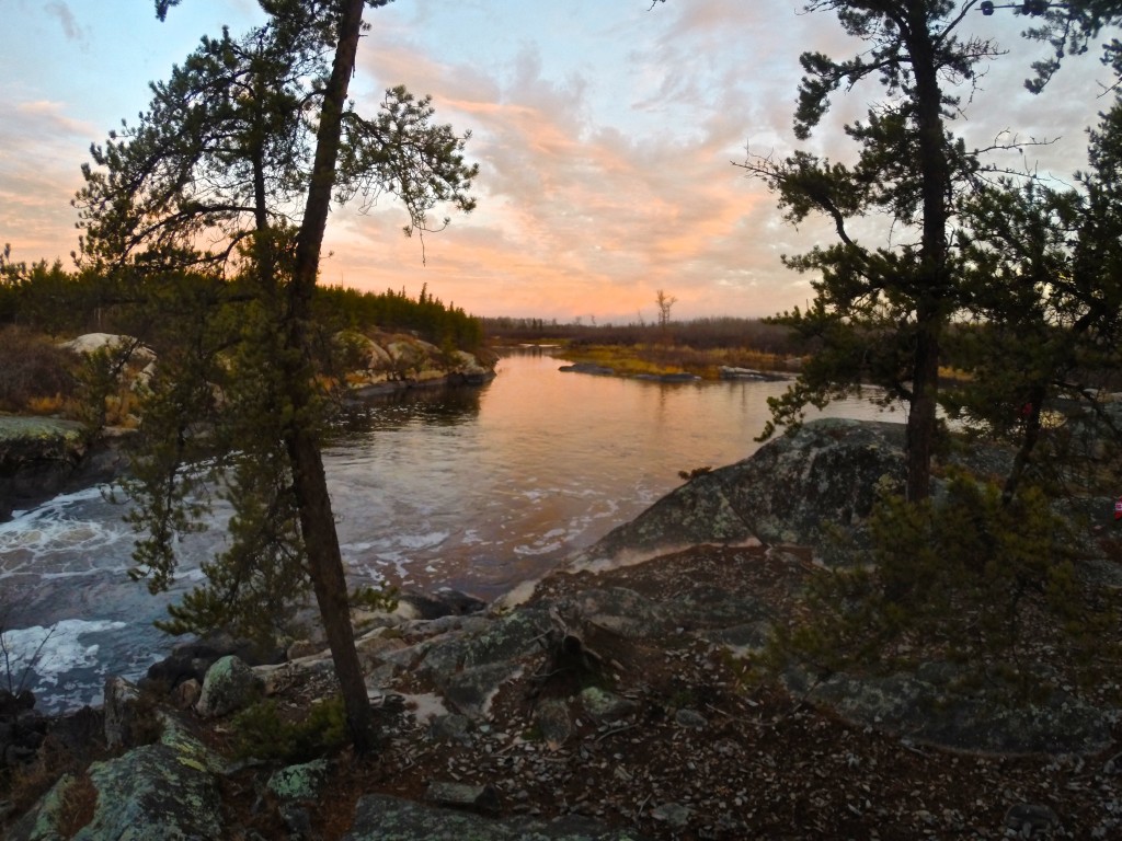
It’s one of thousands of lakes carved out of the 4 billion year old rock. This is the Canadian Shield, the largest mass of exposed Precambrian rock on earth, the exposed continental crust of North America, where ancient mountains were flattened and lakes carved from rock during the Ice Age. Eight million square kilometers of it, igneous rock born from volcanoes that grew into tall mountains which were then worn down to rolling hills and a thin sifting of soil by monstrous slabs of ice.
camerondueckrriverimg_3473

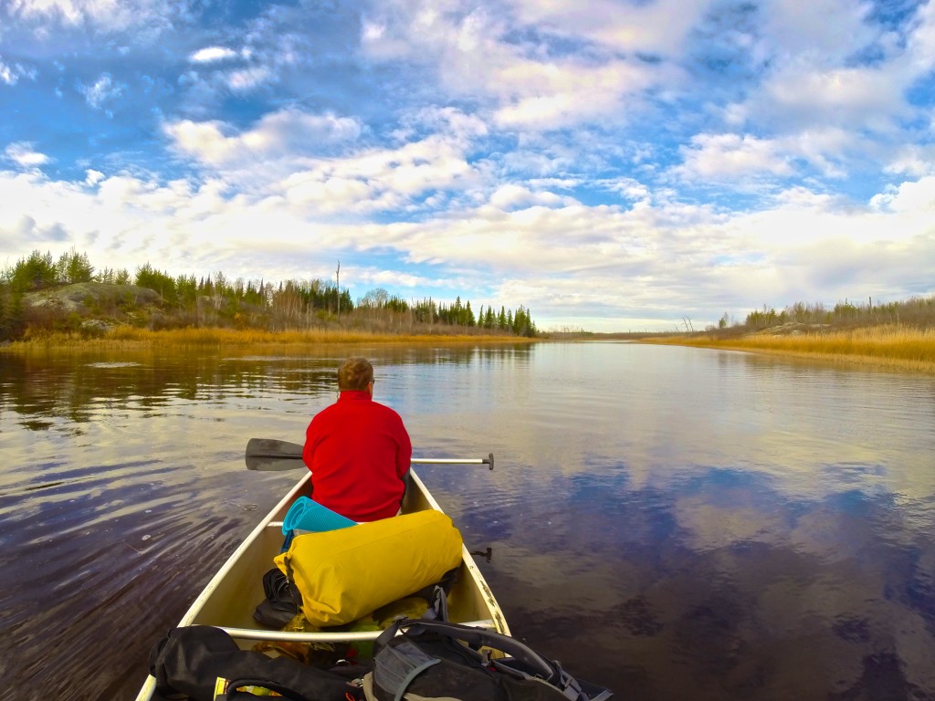
Right now, that much ice, or even snow, is hard to imagine. We’re enjoying some late season warmth on the first day of our canoe trip. This park, only a 2.5 hour drive east of Winnipeg, has five meandering canoe routes through moraines, boggy beaver ponds and pine forest ecosystems. We gambled with a late-season trip and it paid off as we have the lakes to ourselves. Everyone else has already packed up their boats for the winter.

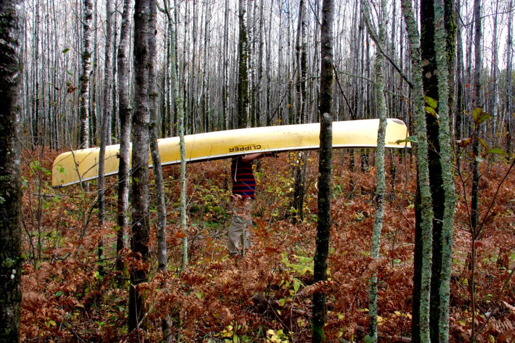
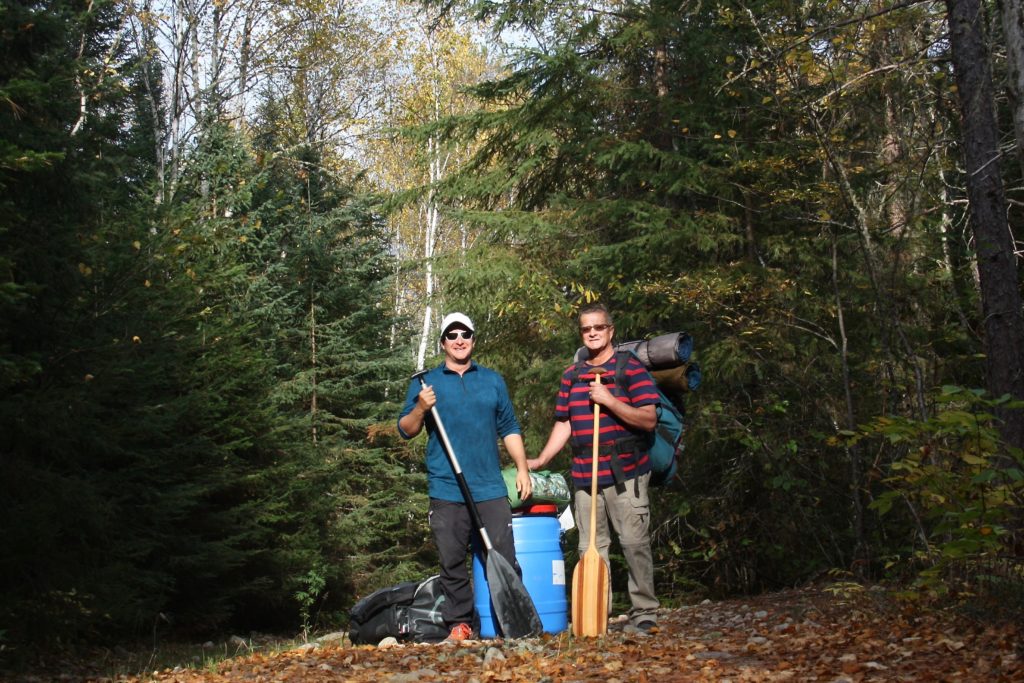
We hoist our canoe and trudge one and a half kilometers through the forest to Gale Lake, where we drop it with a sigh. I stretch my neck and shoulders as we walk back to retrieve our bags and a food barrel. This is just one of seven portages we’ll make on our 51.5 kilometer route, the price we pay to paddle across these remote lakes.
camerondueckrriverimg_3593

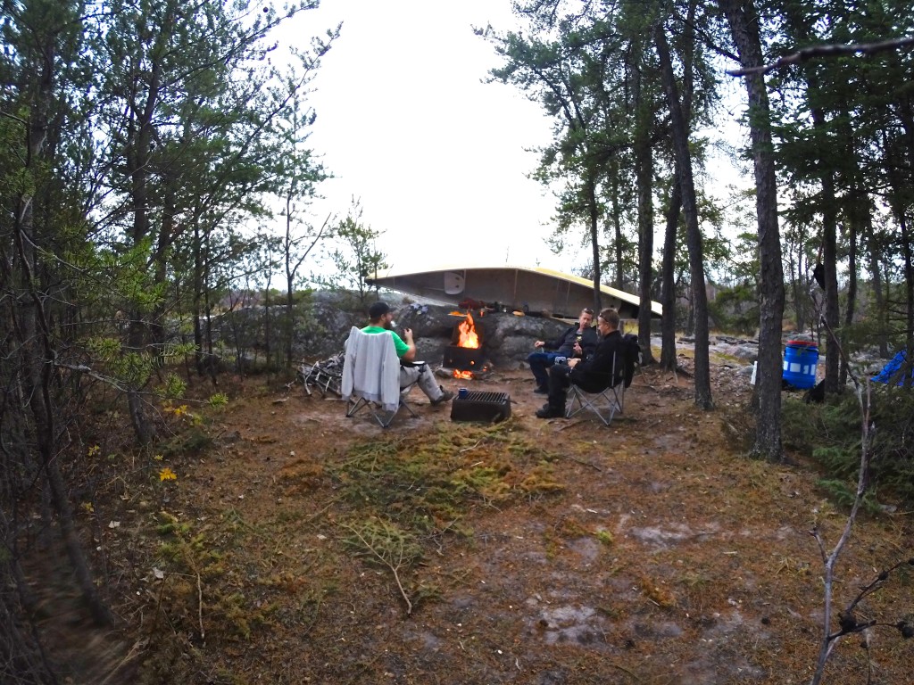
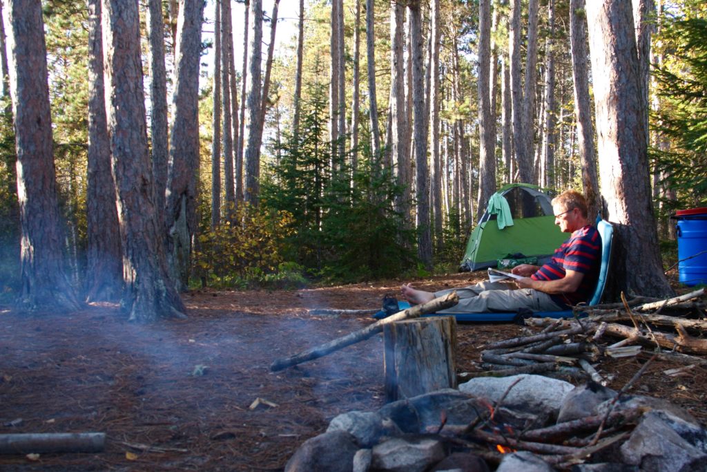
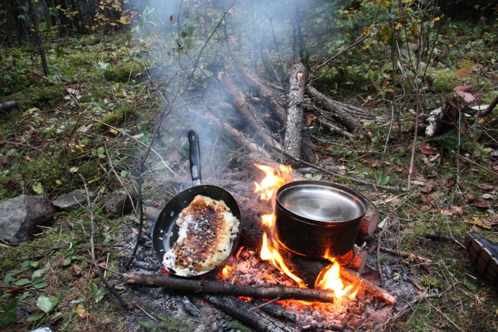
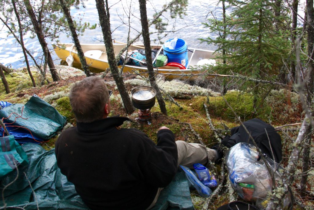
Once we’ve portaged all of our gear we set up camp in a stand of tall red pine on the western shore of Gale Lake, a small tear-drop shaped body of water that pinches off into a narrow creek in the north. There’s plenty of wood for a fire, and I mix up a batch of bannock, the unleavened Native American bread. I fry it in a pan, seasoned with wood smoke and raisins.
camerondueckrriverimg_3703

The Canadian Shield is the home of Algonquian nomadic hunters, who paddled these lakes in birchbark canoes, but the wide expanses of bare rock, poor soil and frequent marshes made it difficult for early explorers and fur traders to push westward into the continent. On the other side of this rock wall are the Prairies, Canada’s wheat land.

Eventually the European colonialists blasted a rail line through the Shield, which opened it to prospectors who found gold, silver, nickel, cobalt, zinc, copper, iron ore and, more recently, diamonds. This is also where Canada has built massive hydroelectric dams to feed cities to the south. The Shield, both past and present, looms large in Canadian history and culture, and canoeing these waters is a rite of passage for many Canadians.

Our good weather holds for exactly two days. Just long enough for us to grow smug, congratulating ourselves for setting forth while others stayed at home. Then, during the night, the temperature drops. We pull out our thermal underwear and stoke the fire as rain spits from a leaden sky. Now, suddenly, that Ice Age seems more feasible.
camerondueckrriverimg_3738

We’re watching the change of the season, when the benign summer is replaced by the unpredictability of early winter. This winter won’t wear down mountains or create a new lake like a true Ice Age, but it will put the land to sleep for the next six months or more.

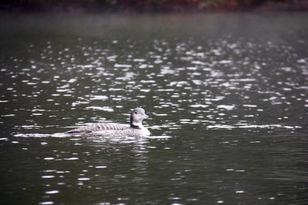
Luck never changes in half-measures, and the wind that brought the cold air blows heartily from the southwest, straight on our bow. A day earlier the lakes were so still the rippled wake of a loon traveled a kilometre across the water, and now the grey water sloshes into our boat as we claw our way upwind.

“Do you still have control of the boat?” I call back to my brother, who is steering from the stern and who I’ve only heard grunts and curses from for the last few minutes. He is the more experienced canoeist, so surely he will know if we’re pushing our luck. We’re trying to round a point of land that has compressed waves and wind and I’ve just taken on a lap full of cold lake water.

“Yea, but we’re on the edge,” he shouts. “Just keep paddling, hard.”
camerondueckrriverimg_3662

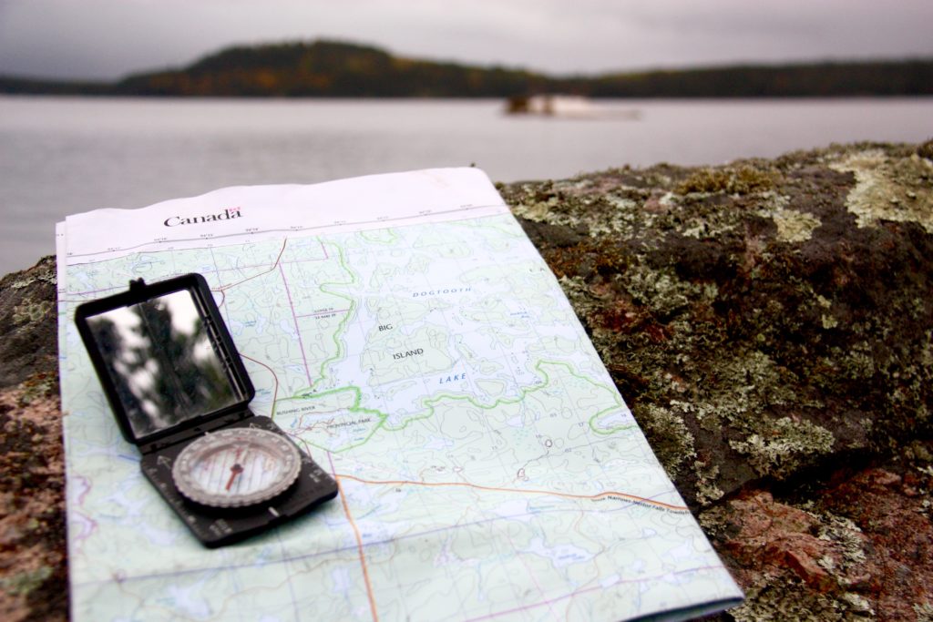
We make it, but once we’re in a protected bay we rule against risking further miles in these conditions. Along a low, swampy shore on Dogtooth Lake we find a forest clearing created by gnawing beavers and set up camp to wait out the storm. Every few hours we walk to the edge of the woods to see if the white caps that race across the lake are becoming smaller. They are not.

But the view is great. Tall cliffs left behind by glacial erosion, topped by scraggly jack pine and poplar. Massive round boulders have been dropped by the retreating ice, like marbles left behind by a child. Speckled alder and red maple still sport a few blazing leaves, beacons in the grey light.

Our last morning begins before dawn. We’ve promised friends and family to reemerge from the wilderness at a certain time, and in order to do that we need to make up the distance lost to the storm. We stop once, mid-morning, to boil up some coffee, and then push on. The wind has died, leaving behind a cold mist that blankets the quiet lakes.
camerondueckrriverimg_3779

I’ve had something on my mind, but I’ve been afraid to say it. I didn’t want to jinx things. But then we round a corner and I can see our truck and the end of our canoe journey. I double check, squinting to make sure, but I can see no one on the shore.

“We haven’t seen another person in five days,” I finally blurt out. “Not a boat, no people outside their cabins, no one at all.”

“If there was anyone else out there they were warm and dry in their cabins,” my brother says. “Probably looking out of their window at us paddling past in the mist and thinking, ‘Those poor buggers’.”
camerondueckrriverimg_3535

Manigotagan

This story originally appeared in SCMP’s Post Magazine as “Canoeing along Canada’s Manigotagan River” on Feb 1, 2015.

I am still trying to get comfortable in my seat and come to terms with steering the canoe when my brother points to the sky. A bald eagle with a two-metre wingspan soars overhead, its brilliant white head twisting back and forth in search of prey.

The eagle circles us in a lazy loop and then, with two smooth strokes of its wings, disappears over the treetops. When I come back down to earth, I find that our canoe is drifting down the Manigotagan River sideways – which is bad news, because it’s getting dark and we have yet to find a campsite.

The Manigotagan is only a few hours north of Winnipeg, the capital of Manitoba province. But we could just as well be a thousand miles from civilisation as the river carries us through the Canadian Shield, the massive rock craton that forms the core of the North American continent. This is rolling land with rock outcrops that were rounded off by the last ice age, leaving room for boreal forests and marshes. Maps show long, narrow lakes, all running in the same direction, torn into the earth by the slow claw of ice.

DCIM104GOPRO

Atop each rocky outcrop, at every roaring waterfall or quiet bend where the river slows, history invites us to imagine. To envision humans on this river thousands of years ago, proud natives traversing their land; the first European fur traders and voyageurs, men who came searching for their fortunes in Canada’s wilderness, toiling their way up and down this watery highway.

A nearby archaeological site proves that human habitation of the Manigotagan area began at least 2,000 years ago and use intensified when aboriginal people underwent a cultural shift from relying on grassland hunting to life in the forest, where they survived on fish, small mammals, waterfowl and wild rice.

When white men discovered the forests’ bounty, they set up the Bad Throat fur-trading post at the mouth of the river, on the eastern shores of Lake Winnipeg. The river became an important trade route for trappers and their canoes, and they were soon followed by loggers and miners. Rusting iron machinery, empty trappers’ cabins, shards of pottery and tent circles all mark chapters in this river’s history.

That trading post has become the town of Manigotagan, which continues to rely on nature, with forestry, commercial fishing, wild rice harvesting and tourism being the economic mainstays. The river is now travelled by weekend canoeists looking to connect with nature. The longest canoe trips stretch to 102km – five to seven days of paddling – and the last 70km of the downriver journey has no exits. After 32km, you’re committed to a week-long journey.

We start at the mouth and work our way upstream. Just as daylight begins to fade, we come to a thundering set of waterfalls. There are dozens of falls and rapids along the river, most of which must be skirted. This requires us to unload both two-man canoes and carry everything on forest paths that pass the dangerous water: a process called portaging.

At Old Woman’s Falls, the river appears to be trying to dislodge a small island. The water sweeps around the rocky obstruction before roaring into narrow chutes on either side.

DCIM103GOPRO

We gingerly land our canoes in eddies only metres from the maelstrom and drag them up to safety before scouting out a campsite. The island is one of the most popular campsites on the river but it is late in the year and no one else is braving the chilly weather. Or perhaps the ghost of the old woman whose death here gave the falls their name has scared them away.

Firewood collected and tent erected, we are soon sitting around a crackling campfire with dinner simmering in a pot. A few streaks of light remain in the sky and the falls are now just a flash of white in the dusk, a steady clamour of water bashing itself against the rocks.

The topography along the Manigotagan ranges from sheer rock faces topped with craggy Jack pine and a thin skin of rock-tripe lichen to thick green stands of balsam poplar, green ash and elderberry. Our small island is covered in towering pines, the reflection of the river glinting through gaps between the trunks.

And there is wildlife; the entire river lies within protected parkland filled with, among other creatures, moose, black bear, wolf and woodland caribou. Beavers can be seen working along the banks.

We sit, passing a rum bottle in circles, until we have depleted our wood pile and the fire fades. We give the dishes a hurried scrub in the frigid water, the clattering of pots echoing across the river. We crawl into our tent, hoping that whatever the large brown furry thing we saw earlier was, it won’t be brave enough to swim across Old Woman’s Falls.

DCIM103GOPRO

The next day, we continue upriver, leaving the campsite set for our return. We spend the morning paddling over gentle rapids. At midday we find a rock outcrop overlooking Big Skunk Rapids. The others gather wood while I mix up a batch of bannock, the simple flat-bread that is the traditional mainstay of native American cooking. We crouch around the fire, watching the dough turn a golden brown flecked with ash.

After lunch, we turn back, now riding with the current. My other brother, in the second canoe with his son, eyes up a low set of rapids that we portaged around earlier.

“I think we can run those, eh?” he says, as much a challenge as a question.

His canoe slips into the current, dips, bobs, is caught in a spray of water, as we hold our position in an eddy. I can see only heads.

A few moments later, a drenched duo are treading water, one at each end of the swamped canoe, gasping with shock at the cold.

“Get your canoe around the rapids and get us out of the water! Hurry!”

DCIM104GOPRO

We do as we’re told, less careful about the canoe’s paint than we were on earlier portages. The pair roll into our canoe, sodden and shivering, rocking the craft until I worry that we will all be swimming soon.

Back at Old Woman’s Falls, a fire leaping through the grating and clothing strung from the trees, the story is retold with added flourishes, a gentle nip of warning from nature.

The next day we break camp and turn for home, letting the current slowly pull us towards Lake Winnipeg. The sun breaks through the clouds and remains free, bringing out the blue reflection of the sky on the water, the emerald green of trees and moss.

As we approach our landing spot, where pick-up truck, mobile phones and cluttered life await, what looks like the same bald eagle takes flight out of a poplar tree along the banks.

Once again it circles and eyes us, as if tallying to check whether those who ventured into his hunting grounds have returned alive.